I took my very first solo hike! For this hike, I went to the Colville National Forest around Sherman Peak. It was about a 2-hour drive from where I live and was a beautiful drive, especially when crossing the Columbia River and near Franklin D. Roosevelt Lake.
I parked at the Kettle Crest Trailhead, which provided a navigation board with paper maps. I always take advantage of these maps because they tend to show a bit more than other maps, or even what I was able to find on the internet. The paper maps provided at this trailhead are Kettle Crest Trail North #13, Kettle Crest Trail South #13, and Columbia Mountain Trail #24 – Sherman Trail #12 – Kettle Crest Trail #13 to Jungle Hill. The maps also provide elevation information, recommended seasons for hiking the trails, and length.
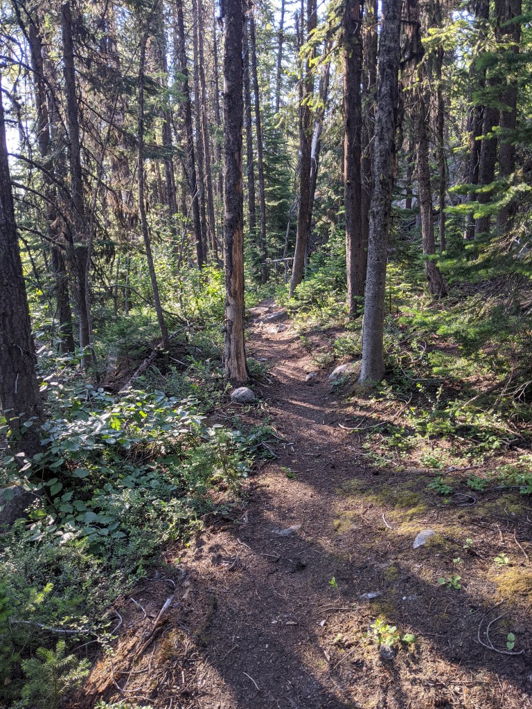
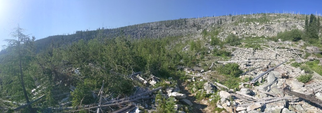
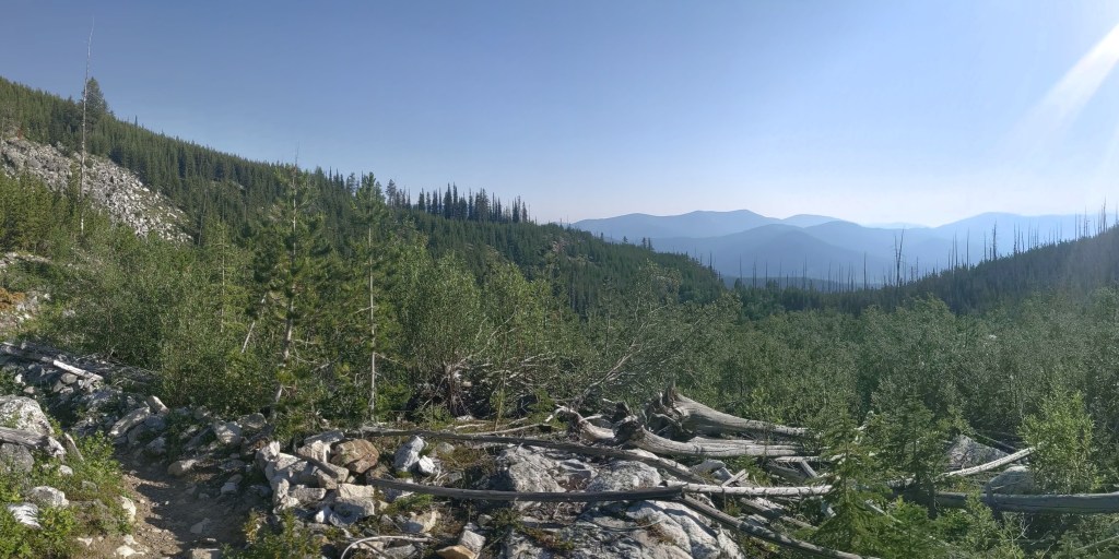
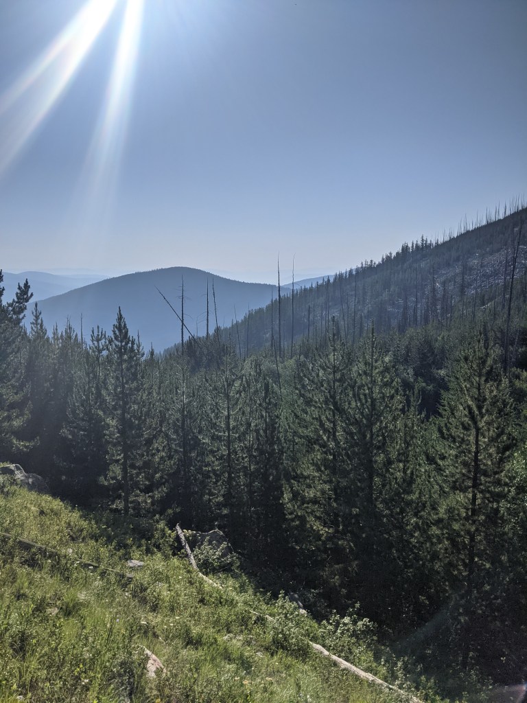
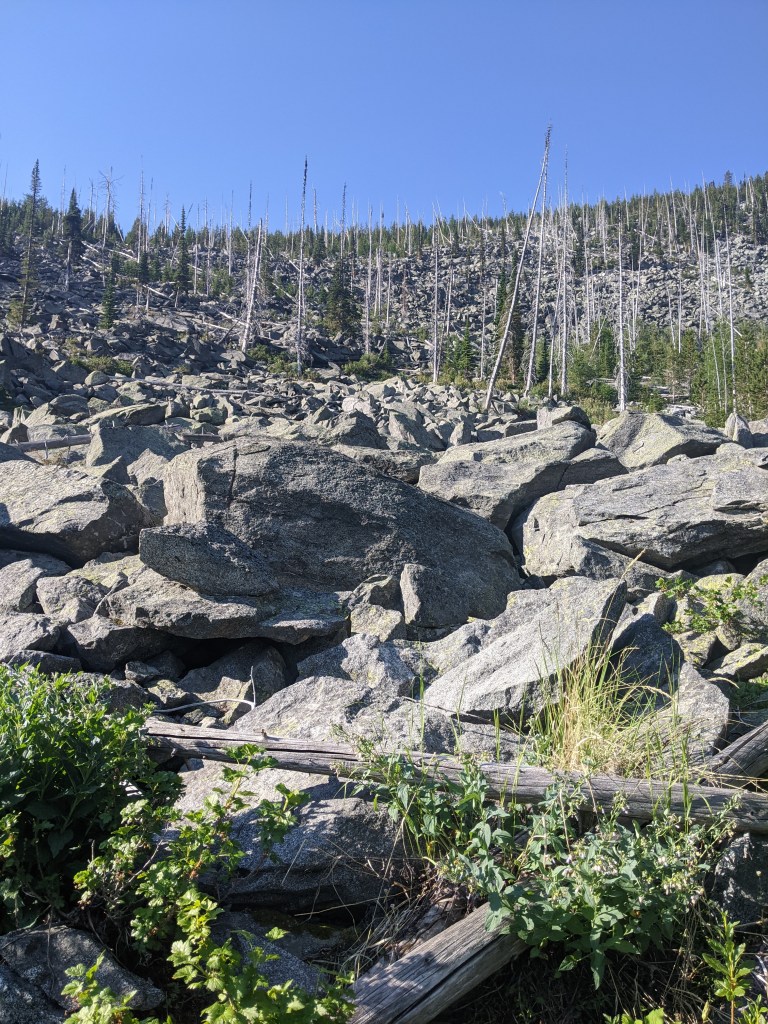
This trail was pretty straightforward. Once you cross the highway and begin your hike, you will come to a ‘Y’ in the trail. I chose to go left which took me up to the White Mountain fire area. The White Mountain Fire Complex, as it was called, engulfed Sherman Peak, Mount Washington, Edds Mountain, Bald Mountain, and White Mountain. It was a lightning caused fire which burned 20,126 acres in 1988. While nature has worked hard to restore itself, you can still see quite a bit of the leftover destruction that was caused.
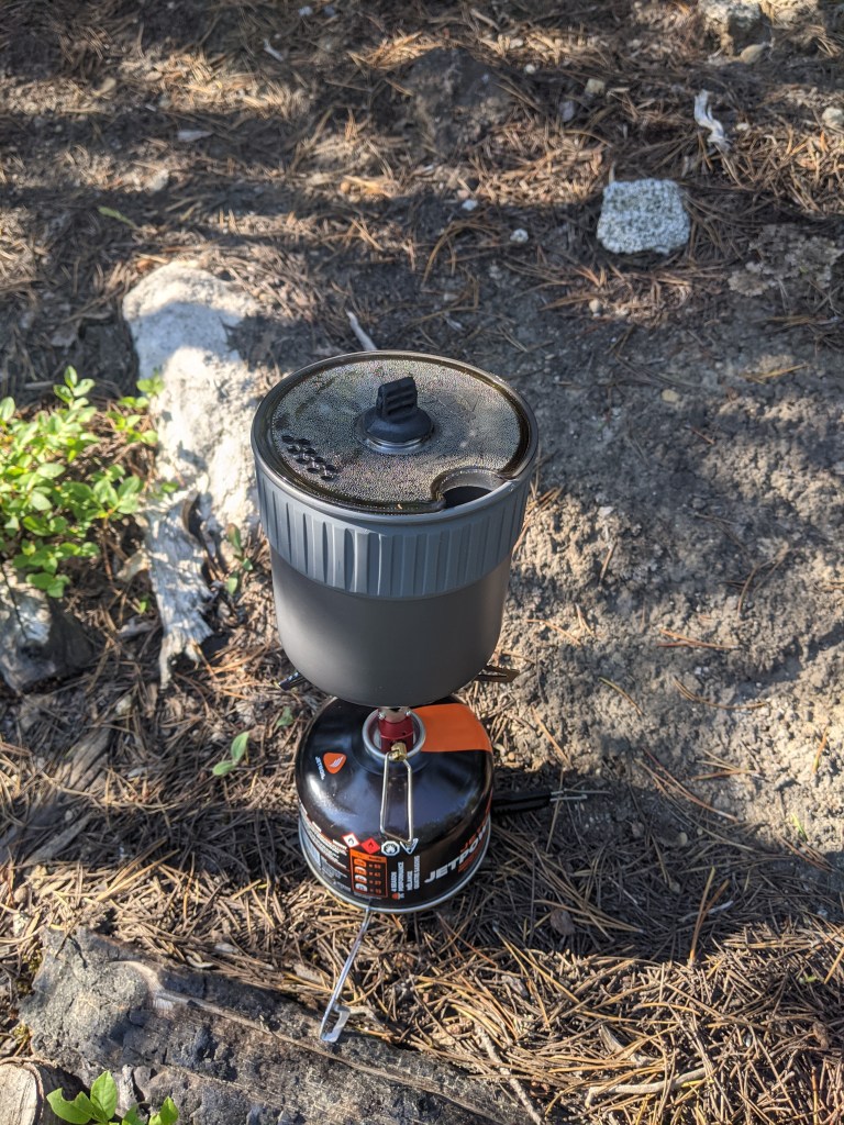
I stopped about 2 miles into the hike for some breakfast which was a simple granola with fruit and a cup of coffee, of course. I recently replaced the Jetboil Flash with the MSR PocketRocket and was excited to try it out. If you’re curious as to how they compare, stay tuned! I will be posting a comparison of the two very soon!
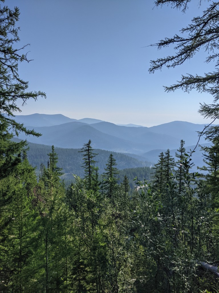
I would highly recommend this trail. It is a short 5 1/2 mile hike and while there is a pretty steep climb in some spots, it didn’t feel overwhelming. The view at the top of the endless mountains makes the drive worth it. Plus, if you’re feeling extra adventurous you can drive the additional 28 miles to the Canadian border!
